Lehigh Valley to the Poconos: Building a Corvette-Friendly Route
TLDR: The best Lehigh Valley Poconos Corvette route is not one permanent set of turns. Build a flexible river-to-ridge drive around Delaware Water Gap and Route 209, with optional connections to Routes 447, 115, 940 or 903. Check road and park conditions on the morning of the trip, select stops for safe parking and easy re-entry, and give older or lowered Corvettes a shorter alternative.
A good Lehigh Valley Poconos Corvette route should feel like a drive rather than a commute. The Delaware River provides the scenic opening, Route 209 can serve as the backbone, and the Pocono plateau offers enough optional roads to extend the day without trapping the group in an overambitious itinerary. The practical answer is to plan the cruise in modules: an approach, a scenic middle, a dependable stop and a simple return.
Start with a flexible Lehigh Valley Poconos Corvette route
For most groups, I would begin with three route layers. First, choose a familiar Lehigh Valley departure point with enough legal parking for a drivers’ meeting. Second, approach the Delaware Water Gap only after checking Route 611 and park-area access. Third, use Route 209 as the scenic thread, adding a plateau or western return segment only when weather, traffic and daylight support it.
Regional tourism guidance identifies Route 209 around Delaware Water Gap and Bushkill as a scenic-drive corridor. It also highlights Routes 447, 115 and 903 as useful parts of broader Pocono driving plans. Those roads are best treated as building blocks, not proof that every section will suit every Corvette on every day. Pocono Mountains scenic-drive guidance is useful for choosing a general area, but the final itinerary still needs current navigation and road-condition checks.
| Cruise format | Suggested framework | Best use | Main caution |
|---|---|---|---|
| Short Gap outing | Lehigh Valley departure, Delaware Water Gap approach, selected Route 209 segment, direct return | An afternoon cruise, a first group run or cars with limited range | Do not add distant stops simply to make the route look more substantial |
| Full-day Pocono loop | Gap approach, Route 209 backbone, optional Route 447 or Routes 115 and 940 segment, planned return | Experienced groups with sufficient daylight and two or more confirmed stops | Traffic, weather and stop delays can make the return much later than expected |
| Local shake-down drive | A portion of the Lehigh Valley covered-bridge area with an easy return | Recently restored cars, new club participants or an uncertain mountain forecast | Some bridges are not open to vehicle traffic, so verify the route rather than assuming every bridge is drivable |
The local shake-down option is more than a consolation prize. Discover Lehigh Valley describes its Historic Covered Bridge Tour as an approximately 50-mile leisurely route featuring seven surviving covered bridges, while noting that not every bridge is open to vehicles. It can provide a useful lower-commitment test of cooling, charging, brakes and driver comfort before a longer Pocono day.
Treat Route 611 and park access as same-day decisions
Route 611 deserves special attention because past closures and traffic controls make old route sheets unreliable. PennDOT announced that the affected Monroe County section reopened on November 5, 2024, with signal-controlled single-lane traffic and a stated vehicle-width restriction at that time. That announcement is historical evidence of the reopening, not a guarantee of today’s configuration. Read the PennDOT Route 611 notice, then consult current PennDOT travel information before departure.
The same rule applies inside and around Delaware Water Gap National Recreation Area. Closures, limited access and facility conditions can alter a planned stop or force a different approach. Check the National Park Service current-conditions page on the morning of the cruise and again if severe weather develops.
A route leader should have an alternate that avoids the affected corridor without requiring a roadside committee meeting. Put the primary route and the fallback in every driver’s navigation app before leaving. If the fallback adds too much time, shorten the outing instead of turning a relaxed cruise into a mileage contest.
What makes a road Corvette-friendly?
“Corvette-friendly” should not be shorthand for perfect pavement. No scenic route can promise that. It means the itinerary gives drivers reasonable ways to manage low ground clearance, limited luggage space, summer heat, changing weather and the different fuel ranges found in a multigeneration group.
- Use major paved roads for the route backbone and inspect optional detours before assigning them to the group.
- Favor daylight travel, especially when the route includes shaded river roads, wildlife areas or unfamiliar intersections.
- Avoid stops that require a line of cars to wait in a travel lane while the first driver finds parking.
- Give lowered cars and fresh restorations an easy bypass around steep entrances, rough lots or questionable shoulders.
- Space stops around people as well as fuel. Restrooms, shade and a predictable departure point matter on a full-day run.
- Identify a simple exit route back toward the Lehigh Valley for mechanical trouble, bad weather or a driver who needs to leave early.
Older Corvettes may require more attention to cooling, charging and fuel range. Newer cars can still be vulnerable to tire damage, deep entrance angles and road debris. A recently completed restoration introduces another concern: the first long trip may reveal heat, vibration or sealing issues that a short local drive did not expose. Use the Corvette road trip checklist before committing the car to the full route.
Choose stops for logistics, not scenery alone
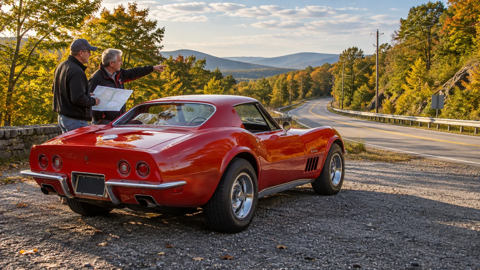
The prettiest overlook is not automatically the best club stop. A workable location needs legal parking, adequate capacity, safe entry and exit, restrooms when possible, and enough cellular service or clear instructions to regroup. A narrow shoulder beside a scenic road is not a group photo location.
Before publishing the route sheet, inspect each planned stop on a current map and confirm any applicable operating hours or access rules. Look closely at the entrance angle, one-way circulation and the direction the group must turn when leaving. Ten Corvettes making an easy right turn can clear a property smoothly; the same group waiting for a difficult left turn can become scattered almost immediately.
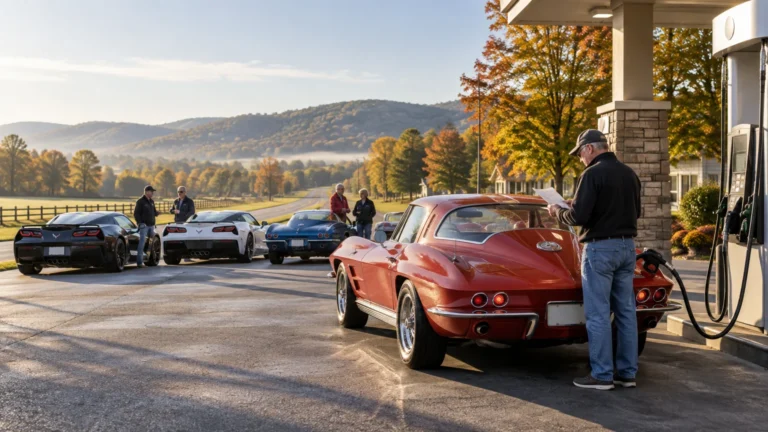
Fuel deserves its own plan. Do not assume every driver begins with a full tank or that every generation has the same comfortable range. Pick a station or commercial area with multiple pumps and enough room to stage cars without blocking customers. Our guide to building fuel stops into a club route covers the details of timing and regrouping a mixed-generation cruise.
Set club-cruise rules before the engines start
A drivers’ meeting does not need to be long, but it should settle the decisions that become difficult once the cars are moving. Name a lead car and a sweep car. Share the destination and regroup points with everyone. Make clear that drivers follow traffic laws and navigation rather than trying to keep the car ahead constantly in sight.
- Inspect tires, fluid levels, lights, wipers and visible leaks before leaving home.
- Begin with enough fuel to reach the designated group stop comfortably.
- Share the route, fallback route and stop addresses in advance.
- Use legal, hands-free communication where applicable; never depend on continuous radio contact.
- Regroup after complex town sections rather than slowing the entire line on an open road.
- Tell the sweep driver when a car leaves the route intentionally.
- Set a weather threshold for shortening or canceling the mountain portion.
- Carry basic emergency supplies appropriate to the car, season and occupants.
Keep the convoy visually modest. Large gaps are safer than drivers rushing through a changing light to preserve formation. If the line divides, the front group continues to the next agreed stop. This is less dramatic than trying to shepherd every car through every intersection, and it makes for a much calmer day.
Plan seasonal traffic as carefully as seasonal color
Pocono foliage is variable, so a fixed calendar date cannot guarantee peak color. Regional fall guidance treats leaf viewing as a changing seasonal condition rather than a single dependable weekend. A flexible departure date may produce a better drive than selecting one crowded Saturday months in advance.
Peak-foliage and festival weekends can also bring traffic and parking pressure, including around Jim Thorpe. If Route 903 or the Jim Thorpe side of the region is part of the return, decide whether the town is truly a destination or merely a line on the map. On a busy weekend, a quieter return may preserve more of the driving experience.
Summer introduces heat and thunderstorms; spring can bring runoff, potholes and debris; autumn reduces daylight faster than an enthusiastic lunch stop suggests. Adjust the route to the season rather than expecting the same itinerary to work from April through November.
Preserve the cruise without inventing its history
Local club culture gives a Poconos run meaning, but the surviving evidence should be described carefully. A November 2014 Easton Area Corvette Club newsletter identifies itself as Volume 46, Issue 11, refers to the club being in its 46th year and mentions members gathering at cruises and car shows. It supports a long-running culture of shared outings; it does not establish an official historic Lehigh Valley-to-Poconos itinerary.
That distinction leaves room to create a new tradition honestly. After the first successful run, save the route card, departure time, weather notes, stop timing and a few labeled photographs. Record what changed and what should be avoided next year. A simple window card or commemorative cruise sticker can identify the date and route without implying a history that has not been documented.
For a recurring outing, a small run of custom route stickers can turn the finished design into a keepsake. Keep the artwork legible, date the event, and preserve the original digital file with the route notes. If an older club emblem is involved, review the practical and historical considerations in our guide to choosing a vinyl decal format for club reproductions.
Make the first run a useful rehearsal
The best first version of this cruise is deliberately modest. Choose one scenic backbone, one dependable primary stop, one optional extension and one easy route home. Run it with a small group before placing it on a larger calendar. Note pavement concerns, confusing turns, cellular dead spots, crowded parking and the actual time spent at stops.
Then refine it. A good annual Corvette cruise is not preserved by refusing to change the route; it is preserved by carrying forward what worked while adapting to Pennsylvania roads, seasonal traffic and the cars that participate. Check conditions, keep the group plan simple, and leave enough daylight to enjoy the return to the Lehigh Valley.
References
- Fall Foliage Drives in the Poconos | Leaf-Peeping Places
- Lehigh Valley’s Historic Covered Bridge Tour | Discover Lehigh Valley
- Route 611 is Open in Monroe County | Department of Transportation | Commonwealth of Pennsylvania
- Current Conditions – Delaware Water Gap National Recreation Area (U.S. National Park Service)
- Leaf Peeping FAQ | Pocono Mountains Fall Foliage Info
- The President`s Message – the Easton Area Corvette Club – coffee and tea